
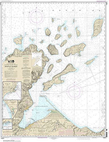
NOAA Chart 14973: Apostle Islands: including Chequamegan Bay; Bayfield Harbor; Pikes Bay Harbor; La Pointe Harbor (WATERPROOF) 35 x 47
Product ID: B00M9PDVYQ
Condition: New
Sold Out
Product Description
NOAA Chart 14973: Apostle Islands: including Chequamegan Bay; Bayfield Harbor; Pikes Bay Harbor; La Pointe Harbor (WATERPROOF) 35 x 47
- Printed on high quality waterproof, tear resistant material.
- Always printed on-demand using the most recent NOAA data
- MeetsáUnited States Coast Guard carriageárequirements
- All charts are shipped rolled in a tube
Our waterproof charts are printed on a very durable, extremely tear resistant, waterproof material. This waterproof material accepts pencil markings well and also erases well. The paper and printing process has been certified by NOAA and deemed to be suitable to withstand the rigors of use in the marine environment.
Certified for carriage on commercial vessels.
Technical Specifications
Country
USA
Binding
Misc.
Brand
NOAA
Label
Paradise Cay Publications
Manufacturer
Paradise Cay Publications
MPN
NO_14973WP
NumberOfItems
1
PartNumber
NO_14973WP
Publisher
Paradise Cay Publications
Studio
Paradise Cay Publications

