

Florida Saltwater Fish & Shark Identification - 6 Double-Sided Waterproof Quick-Reference Fishing Guide Cards with FWC Rules, Size Limits & 120+ Fish & Sharks
R 1,049

Generic State Saltwater Fish Identification and REGULATIONS 50 INCH Ruler Decals (Massachusetts)
R 1,531
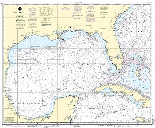
NOAA Chart 411: Gulf of Mexico
R 2,047

Rodman Reservoir Fishing Map
R 1,290

Hawg Tape American Flag Carpet/Floor Decal
R 1,611

Nearshore/Inshore Laguna Madre South, TX - Laminated Nautical Navigation & Fishing Chart by Captain Segull's Nautical Sportfishing Charts | Chart # LMS52
R 1,812

Paradise Cay Publications NGA Chart 62032: Persian Gulf, Approx. Size 21" x 29" (Small Format Waterproof)
R 1,451

Bull Shoals West Section Fishing Map - Highway 125 to Taneycomo Dam (Arkansas Fishing Series, L172)
R 1,290

Springfield Lake Fishing Map
R 1,085

Paradise Cay Publications NOAA BookletChart 18773: San Diego Bay
R 1,210