

Captain Segull's Sportfishing Chart
Inshore South Coast of Cape Cod, MA - Laminated Nautical Navigation & Fishing Chart by Captain Segull's Nautical Sportfishing Charts | Chart # SCC103
R 1,370

UKHO
UKHO BA Chart 4000: The World
R 3,941

UKHO
UKHO BA Chart 4402: North Atlantic Ocean, Caribbean Sea
R 3,941
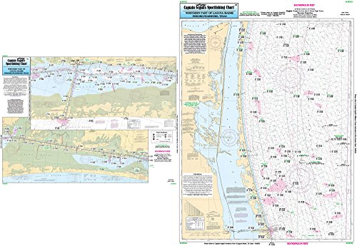
Captain Segull's Sportfishing Chart
Nearshore/Inshore Laguna Madre North, TX - Laminated Nautical Navigation & Fishing Chart by Captain Segull's Nautical Sportfishing Charts | Chart # LMN53
R 1,812

Fishing Hot Spots
Seneca Lake Fishing Map
R 1,451

NOAA
18725--Port Hueneme to Santa Barbara, Santa Barbara, Channel Islands Harbor and Port Hueneme, Ventura
R 2,027

MAPTECH
MAPTECH Waterproof Charts WPC127: Point Conception to Point Dume Waterproof Chart
R 2,294
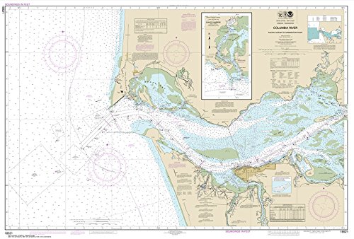
Paradise Cay Publications, Inc.
Paradise Cay Publications, Inc. NOAA Chart 18521: Columbia River Pacific Ocean to Harrington Point; Ilwaco Harbor (Traditional Paper) 32.8 x 48.4
R 1,638

NOAA
NOAA 19004 Hawaiian Islands
R 2,308

Captain Segull's Sportfishing Chart
Inshore Fishers Island, NY, Coast of CT - Laminated Nautical Navigation & Fishing Chart by Captain Segull's Nautical Sportfishing Charts | Chart # FI105
R 1,812