
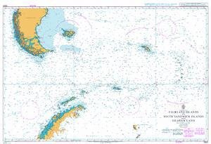
UKHO
UKHO BA Chart 3200: Falkland Islands to South Sandwich Islands and Graham Land
R 3,098

Captain Segull's Sportfishing Chart
Captain Segull Inshore Port Royal, SC to Savanah, GA Fishing Nautical Chart
R 1,451

Art to Media
Art to Media Dive Map - Hoyt S. Vandenberg
R 1,332
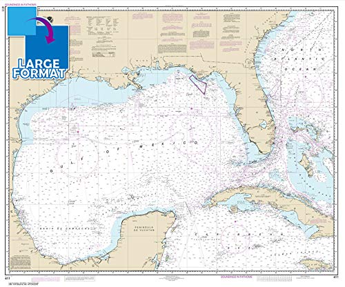
Paradise Cay Publications, Inc.
Paradise Cay Publications, Inc. Large Format NOAA Chart 411: Gulf of Mexico (42" x 50")
R 1,798

Captain Segull's Sportfishing Chart
Harbors of Cape Cod Bay, MA - Laminated Nautical Navigation & Fishing Chart by Captain Segull's Nautical Sportfishing Charts | Chart # WB111
R 1,368
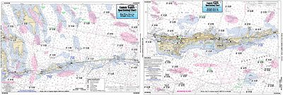
Captain Segull's Sportfishing Chart
Captain Segull Inshore Grassy Key to Big Pine Key, FL Fishing Nautical Chart
R 1,451

Fishing Hot Spots
Kerr Reservoir (Buggs Island-West - VA/NC) Fishing Map
R 1,250
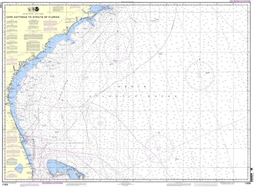
NOAA
NOAA Chart 11009: Cape Hatteras to Straits of Florida
R 2,389

Paradise Cay Publications, Inc.
Paradise Cay Publications, Inc. NOAA Chart 11460: Cape Canaveral to Key West
R 1,638
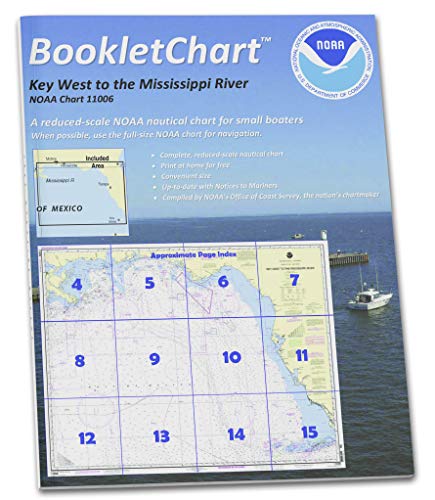
Paradise Cay Publications
Paradise Cay Publications NOAA Booklet Chart 11006: Key West to Mississippi River
R 1,210