
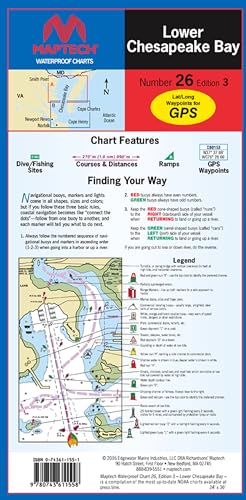
MAPTECH
MAPTECH Lower Chesapeake Bay Waterproof Chart, 3rd Edition
R 1,893

Fishing Hot Spots
Skiatook Lake Fishing Map
R 1,290

Paradise Cay Publications
Paradise Cay Publications NOAA BookletChart 14860: Lake Huron, Handy 8.5" x 11" Size. Paper Chart Book Designed for use Aboard Small Craft
R 1,210
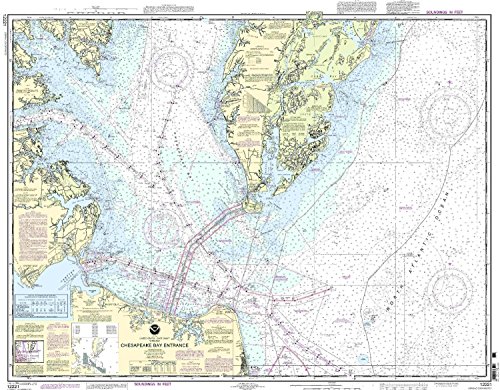
NOAA
NOAA 12221 Chesapeake Bay Entrance
R 2,228

Captain Segull's Sportfishing Chart
Inshore Boston Harbor, MA - Laminated Nautical Navigation & Fishing Chart by Captain Segull's Nautical Sportfishing Charts | Chart # BH102
R 1,812
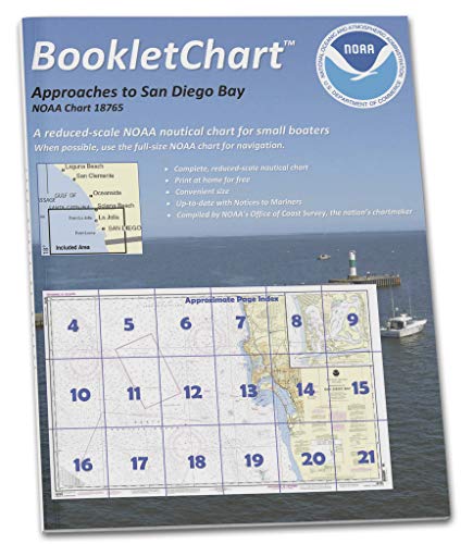
Paradise Cay Publications
Paradise Cay Publications NOAA BookletChart 18765: Approaches to San Diego Bay;Mission Bay
R 1,210

Paradise Cay Publications
Paradise Cay Publications NOAA Chart 11416: Tampa Bay; Safety Harbor; St. Petersburg; Tampa 21.00 x 31.65 (Small Format Waterproof)
R 1,451

NOAA
NOAA 11513-St. Helena Sound to Savannah River
R 2,107
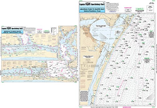
Captain Segull's Sportfishing Chart
Nearshore/Inshore Baffin Bay, TX - Laminated Nautical Navigation & Fishing Chart by Captain Segull's Nautical Sportfishing Charts | Chart # BAF54
R 1,812

Captain Segull's Sportfishing Chart
Off coastal New Jersey - Laminated Nautical Navigation & Fishing Chart by Captain Segull's Nautical Sportfishing Charts | Chart # ONJ19
R 903